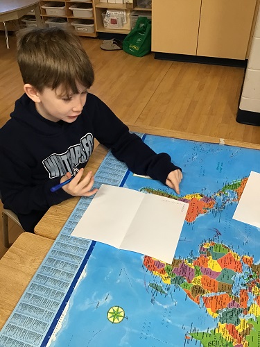
To build on this interest, the educators brought in a map of the world to observe what the children would do with it. The first day the children wrote their names down the page as if to create an acrostic poem. The children would then find different places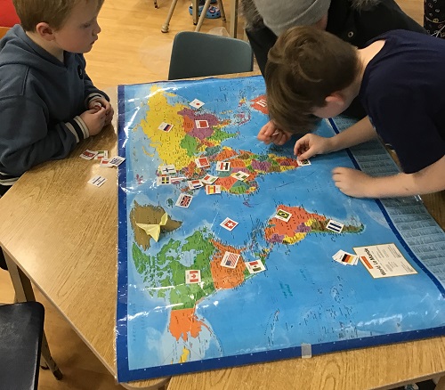
“Check out how big China is!” One child exclaimed, along with children asking where various places are, “can anyone find Sweden for me?”
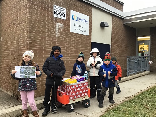
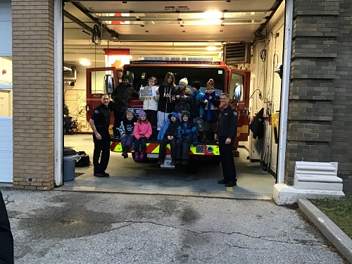
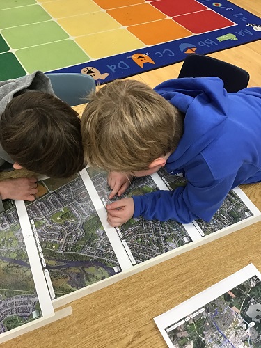
On Tuesday December 3rd, RisingOaks, Our Lady of Fatima participated in Giving Tuesday by collecting food donations for the Cambridge Food Bank. As the children have been showing an interest in maps, the educators decided to print off of google maps the directions to walk to the Fire Station. The children each took turns holding the map and directing the rest of the group on where to go. The children worked together to figure out the proper way to hold the map and how to follow along the streets. At one point, the wagon of food had tipped over and while trying to help collect all the food, they had lost their point on the map. Together, the children discussed and remembered where they had just been and looked around to see any buildings we were near to find where we are in relation to the map. We made it there and back without getting lost, thanks to the help of our super star map readers!
I wonder if we could create our own maps of around the area and during the warmer days take some walks to see where each map leads us. Could the children create a map of their house, or their bedroom. Could we have the children map out the school and the quickest way to escape in case of a fire. Another thought was how wonderful would it be if we could write letters to each other and mail them, perhaps after the Postal strike, this could be an option. There are so many fun things we can continue to explore with maps. Where around the world have you traveled? Where around the world would you like to travel?


